


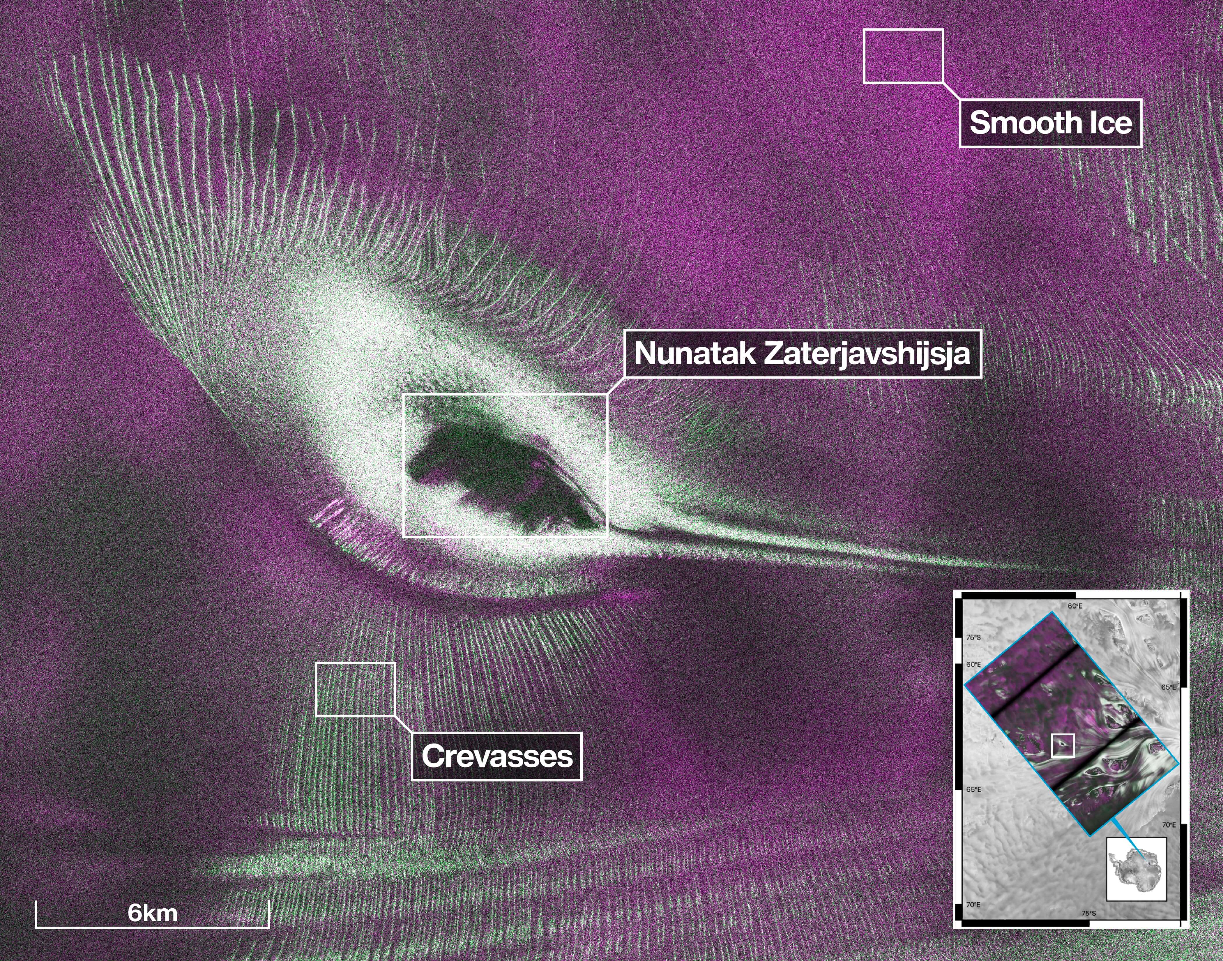
NASA has released an image of a vast section of Antarctic ice – and you’re not going to believe what can be seen on the surface. Engraved into the ice is what appears to be a massive, highly detailed hummingbird rendered in magenta and green colors.
The image was captured by NISAR (NASA-ISRO Synthetic Aperture Radar), a joint US-Indian space agency (ISRO) satellite that monitors the movements of Earth’s land and ice masses.
This device, which orbits roughly 450 miles above the surface of the planet, creates imagery by shooting radar waves at the Earth and then measuring the travel time, strength and direction of the returning signal. This enables scientists to determine the lay of the land, who assign different colors to the varying topography.
“First, it’s a beautiful image, with rich details of features that provide insights to how the glacier is moving,” said Seongsu Jeong, the NASA signal analysis engineer who produced the image.
Jeong explained that scientists are able to see what’s “hidden beneath the surface” thanks to NISAR’s radar, which can pierce through snow and deep into the ice.
Image 1 of 2
(Image credit: NASA/JPL-Caltech)
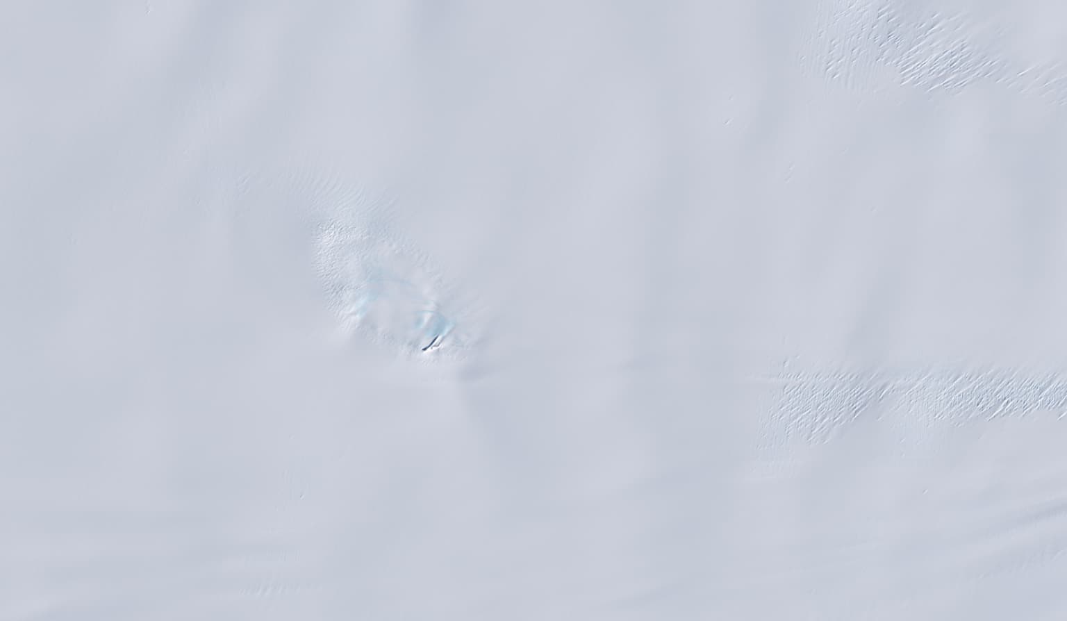
Without NISAR, the observed region of Antarctica would simply look like a barren white wilderness (picture two).
(Image credit: NASA/JPL-Caltech)
View Original
View Original
According to NASA, what the image actually shows is a geographical feature called Nunatak Zaterjavshijsja (Russian for ‘lost mountain’), a mountaintop in East Antarctica, around which flows streams of ice toward the ocean.
As the underlying glacier moves, the mountain’s topography stresses the ice. This creates deep fractures, called crevasses, which show as sharp green lines in the image, while the unaffected, smooth ice shows up as magenta.
NISAR was launched in July last year and, since then, has captured a range of fascinating images, including urban street grids, agricultural fields, landslides, earthquakes, and sinking land in Mexico City.
Shortly before the satellite’s one-year anniversary, NASA and ISRO made access to NISAR’s data public, with teams in the US and India releasing files from the powerful radar instruments on an “ongoing basis.”
You can access the ISRO data via the Bhoonidhi portal, while NASA releases NISAR data – which it calls “data products” – via the Vertex Data Search and Earthdata Search.
Author: Alan Palazon
Source: DigitalCameraWorld
Reviewed By: Editorial Team