

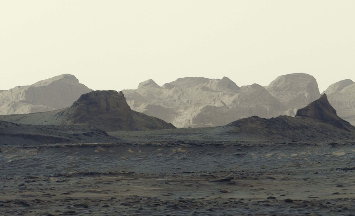
NASA’s Curiosity rover has captured a dramatic panorama revealing what the space agency says is the “most detailed view yet” of distant, rugged cliffs that its scientists had been awaiting a closer look at.
According to NASA, the sunrise panorama is a compilation of six images captured using the rover’s Mastcam, which features a “Left Eye” 34mm camera and a “Right Eye” 100mm camera, at 8:30 a.m. Mars time on August 11.
The agency said that Curiosity’s Mastcam was able to render “striking blue hues” in the foreground while also capturing the “bright morning light” illuminating the yardangs, a series of rocky crags on the horizon.

“NASA’s Curiosity rover offers the most detailed view yet of distant, wind-carved Martian cliffs, highlighting features the mission’s scientists have long been waiting to see up close,” the space agency released in a statement.
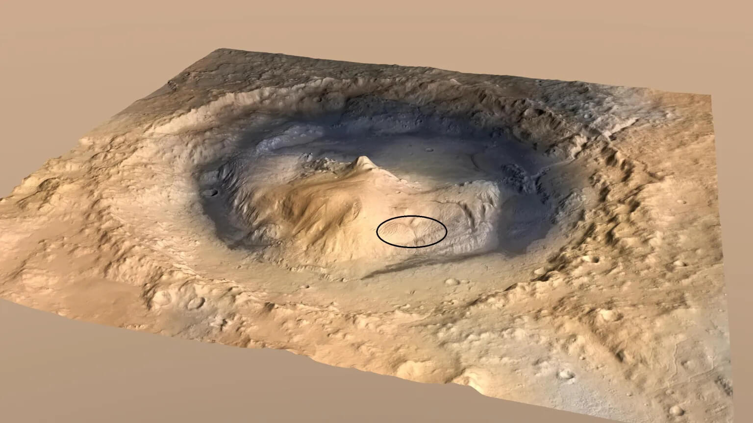
According to NASA, the yardang layer extends roughly 10 miles across the northwestern surface of Mount Sharp, a 3-mile-tall mountain that Curiosity has been ascending since 2014.
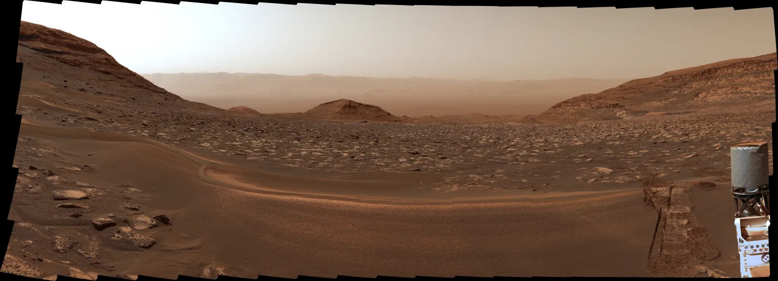
Over the past 12 years, NASA scientists remotely controlling Curiosity from the agency’s Jet Propulsion Laboratory (JPL) in Pasadena, California, have used the rover to examine the different geological layers making up Mount Sharp.
Image 1 of 2
(Image credit: NASA/JPL-Caltech/ESA/DLR/FU Berlin/MSSS)
(Image credit: NASA/JPL-Caltech/MSSS)
View Original
View Original
The space agency explained that these layers each hold clues about a “distinct period” of Mars’ history, revealing secrets about lakes and streams that covered this part of the Martian surface billions of years ago.
“The yardang layer looks out of place. It’s the wrong color, the layers tilt at an odd angle, and it almost appears plastered on,” said Ashwin Vasavada, Curiosity project scientist at NASA’s JPL. “But that’s what makes it exciting to reach. No one is sure exactly what created this layer, but one idea is it may be ash deposited by ancient volcanic eruptions.”
Author: Alan Palazon
Source: DigitalCameraWorld
Reviewed By: Editorial Team